
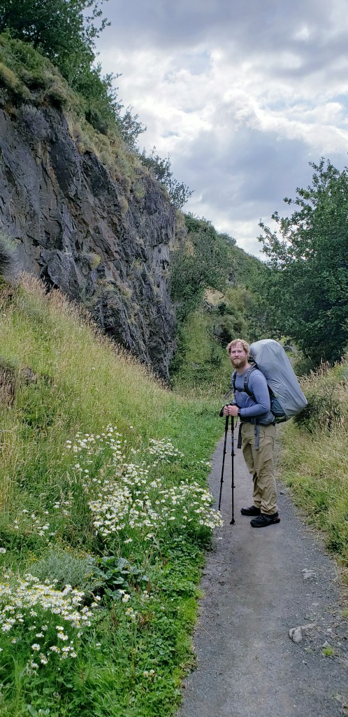
Besides for a good breakfast of scrambled eggs and oatmeal with honey, day 1 didn’t get off to a great start. For one, it is completely unclear which direction to head for the O circuit. The signage usually is pretty inconspicuous (if present at all) in South America, and became a bit of a running gag. As we got deeper into the park, it was harder to get lost or off trail because there is clearly only the ONE trail, so no problems there. It’s the big camp zones with various tent areas, refugio areas, parking areas, sometimes bus areas or boat harbors that can be the most confusing.
Our first mishap was due to some interesting directions the Torres Central staff member gave us in order to find the trailhead. If you were told “You just have to follow the trail of cars”…how would you interpret that? Well, if you think like David and I, then you would think it meant where virtually all the cars were parked, hence “trail of cars.” Sooooo we walked all the way back to the entrance where we got dropped off, through the bus station, and began wandering around the edges of the parking lot looking for signage. When we didn’t find it, we backtracked and asked another staffer, who told us it was way back by the campsite and to take a right at the road. Great, first 30 minutes down the drain.
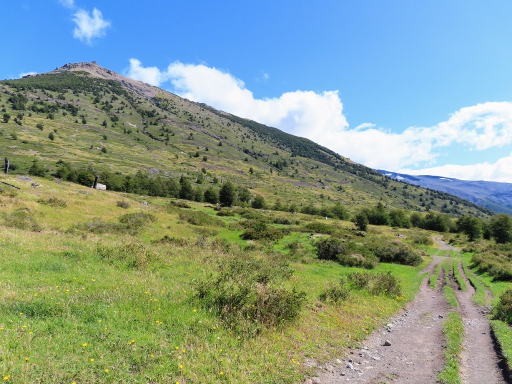
We find the path that points to our next campsite, Serón. Only 8 miles away! The switchback path up the foothills that is the start of the O circuit is actually a road for awhile before it becomes a hiking trail further up. At the top of our first mini-ascent, already all sweaty as the sun came out and we needed to shed some layers, it occurred to me what had clearly been lost in translation. Trail of cars, as in the TRAIL that CARS TAKE. My verbal exasperated reaction at the time “…why the F#@$ didn’t he just say FOLLOW THE ROAD?!!” In retrospect, his English was probably sub-par.

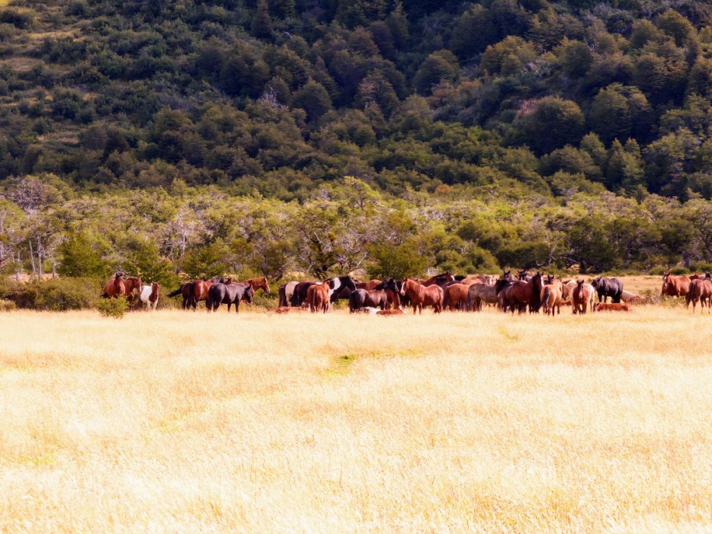
Second setback was really a “D’Oh!” moment as it is the oldest trail-fail in the book – do NOT assume the people in front of you know where the trail is (even if they are happy, chatty Americans). There was a spot that got a little rocky and this group of 4 headed off to the right, straight up a vertical foothill filled with shrubs, small trees, and bushes. For about 20 minutes into this ascent it seemed fairly reasonable that we were on the path, as clearly many others had walked it and it looked like a freakin’ trail. Continuing to go steeply uphill, one of us noticed that there was no one else around besides those four and us…come to find out we had veered way off to the East of the actual trail, up a damn vertical horse path. Facepalm. Clumbered our way back down to the base of the valley and found the nice, now obvious, steadily climbing trail through the ravine that we could’ve been on the whole time. COOL. Another hour down the drain.


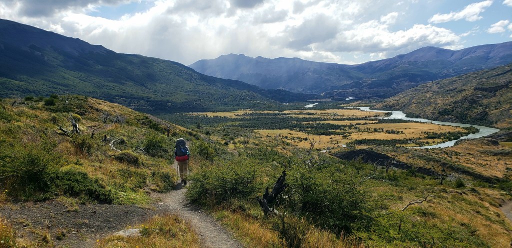
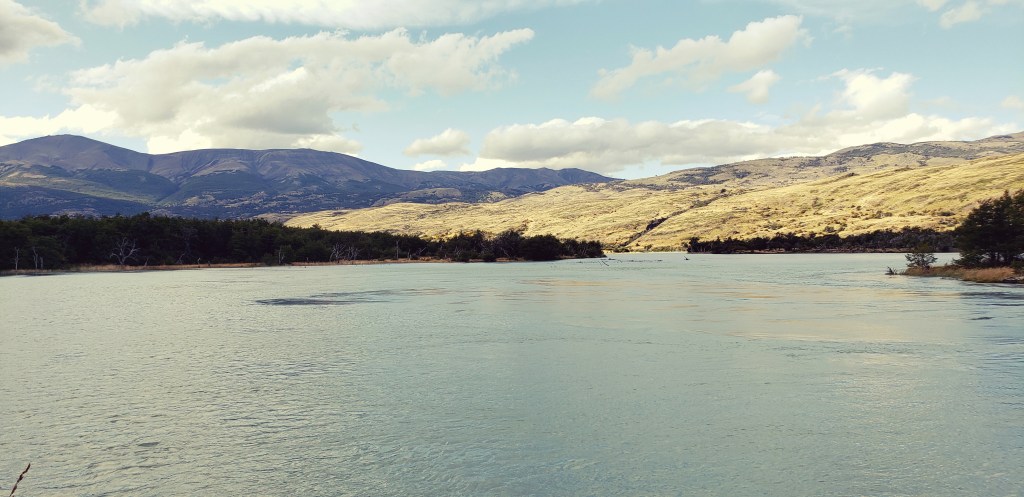
Our luck came back after that and the rest of the day was pretty straightforward. After climbing vertically about 200 meters through patches of forest and rocky overlooks (and regularly turning around to watch base camp and the lake disappear into the distance) we were met with a rewarding and tranquil view of the Rio Paine in front of us, and the lovely river valley through which we’d be weaving to get to camp. The descent was nice, not too steep! And the last 4 miles were basically just flat, tall grasslands with a few streams to cross.
We appreciated the end of our first day being flatland hiking, as our shoulders and legs were definitely feeling the burn. There was another couple who we kept going back and forth with passing each other when we’d take breaks. They had huge packs of clunky camping gear that had to be heavy, definitely heavier than ours. We always got a bit of a spring in our step when we’d see other people with bags way bigger than our own.

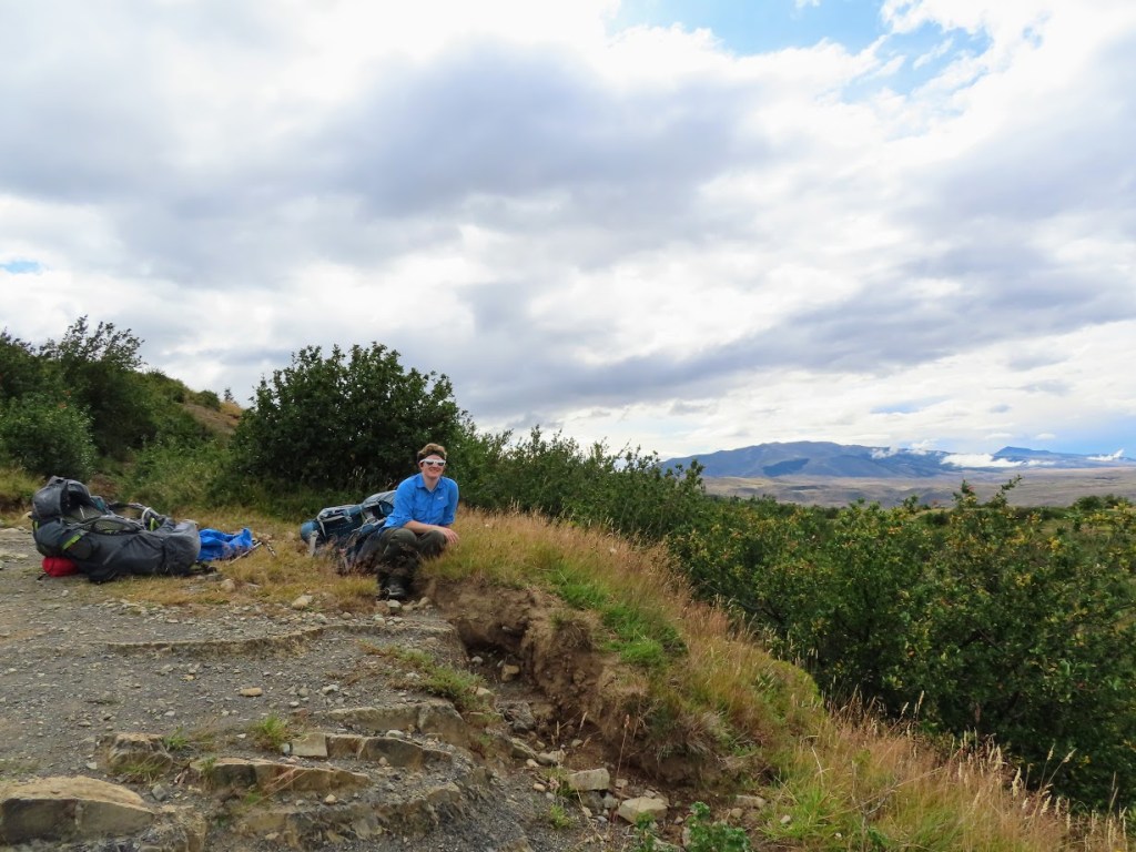
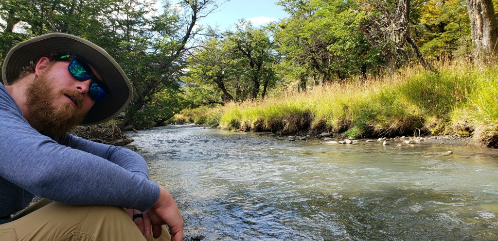
Beaten down by a long day of schlepping packs, we all found time to take a break by the riverside and creeks along the way.


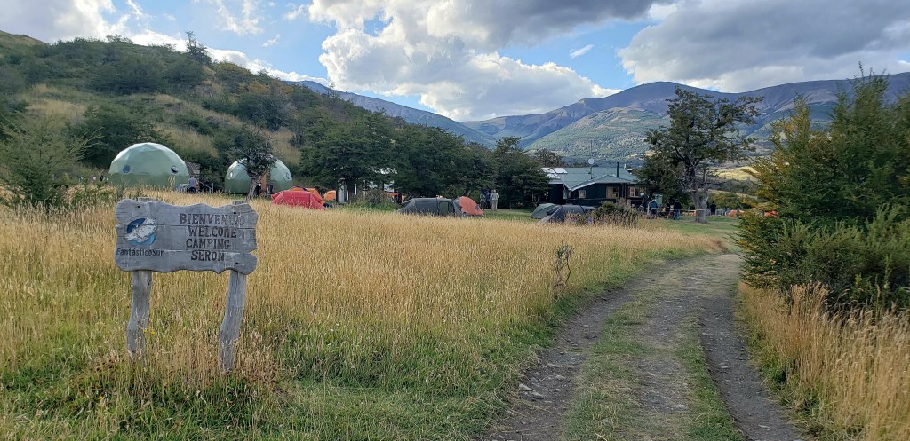
Winding left and right along the river we finally made it to Serón where the party was going on! People were playing soccer and slacklining and everyone had a beer in hand. This was us:
While washing dishes, made a new friend. Kate, a teacher from Oakland, CA, who became one of our favorite hiking buddies! She had hiked to the base of the towers that morning and back (nbd, just 12 miles round trip with an elevation gain of 600+ meters then back down again), ate lunch, took an hour nap, then woke up and decided to do the 8 miles we had just done to Serón. She’s a badass! And the nicest person ever, to boot. Kate, we miss hiking with you! Let’s do it again sometime (half dome, maybe?)
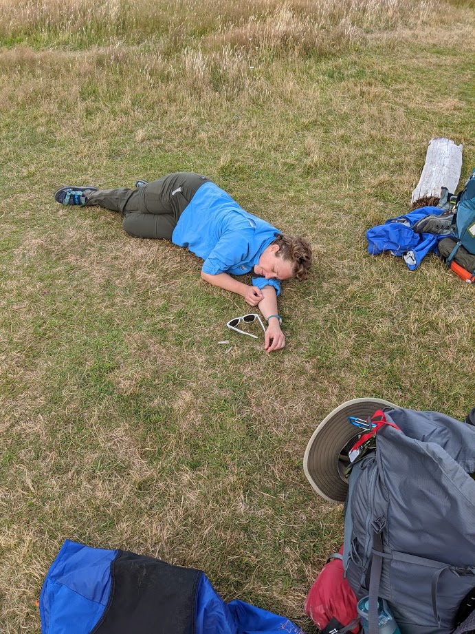
Took welcomed showers, cooked dinner over the stove, enjoyed the sunset views and the hilarious caracara birds in camp, attempted to watch a show on the tablet and failed, PTFO. Success.